

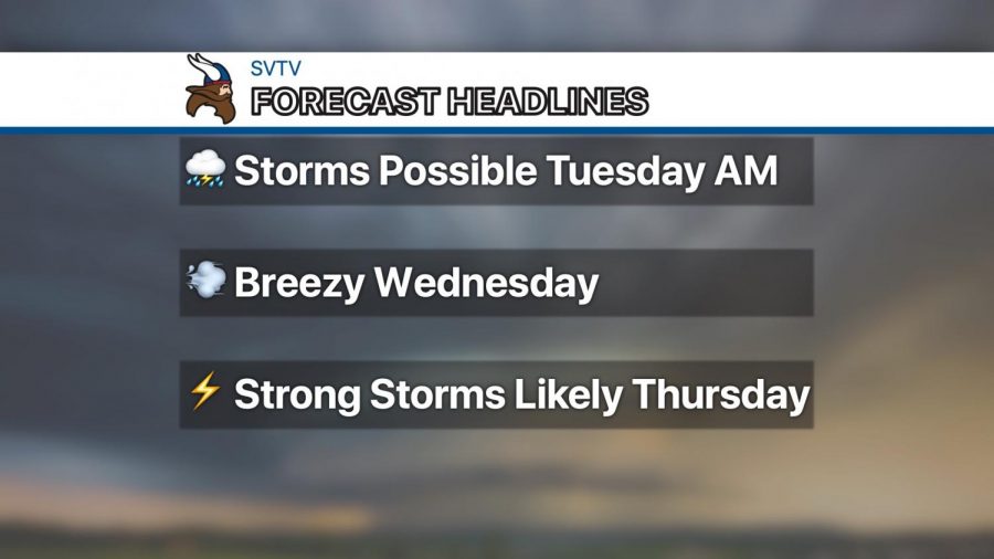
Scattered showers and thunderstorms possible Tuesday morning
Strong storms likely Thursday
Active weather this week
An active weather pattern is in store for us this week. We should escape the daylight hours dry today, but chances for showers and thunderstorms will be on the increase tonight, especially after midnight.
Scattered storms could linger into Tuesday morning, but any remaining precipitation should come to an end by the afternoon. Severe weather is not anticipated with this activity.
Wednesday will be dry but warm and breezy with high temperatures returning to the upper 80s and a gusty south wind.
Big changes arrive Thursday with the passage of a strong cold front, which could bring strong to severe thunderstorms to northeast Kansas. Stay tuned for updates as we get closer.
Friday is forecast be the nicest day of this week with highs in the upper 70s under partly cloudy skies.
Have an amazing week!